
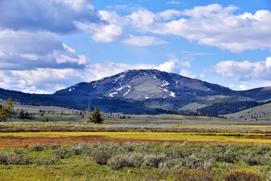
Most first-time backpackers in Montana assume the biggest challenge is the distance they can cover in a day. They buy a map, pick a trail from AllTrails, and pack like they’re hiking in Colorado. Then they hit the Bob Marshall Wilderness in late June and discover that creek crossings run chest-deep, the bugs are thick enough to inhale, and the permit system for Glacier is nothing like a national forest. I’ve watched people turn around at the trailhead because they didn’t know the difference between a backcountry permit and a day-use permit. That’s not a fitness problem. That’s a planning problem.
This guide covers the specific, non-negotiable logistics of backpacking in Montana. Not general backpacking advice — Montana-specific rules, risks, and routes. If you’re looking for a list of gear you already own, skip to section four. If you want to avoid a trip-ending mistake before you leave the parking lot, read the whole thing.
Permits You Actually Need — and Which Ones You Can Ignore
Montana manages public land through three separate agencies, and each has its own permit rules. Mixing them up is the fastest way to get turned away or fined.
Glacier National Park: The Lottery System
Glacier requires a backcountry permit for any overnight stay. You do not just show up and get one. The park runs an advance reservation lottery from March 15 to March 31 each year, with results released by April 15. About 70% of backcountry sites are allocated through this lottery. The remaining 30% are available as walk-up permits at ranger stations, but you must arrive before 8 a.m. the day before your hike, and popular routes like the Highline Trail or Gunsight Lake fill within the first hour.
If you miss the lottery, your best bet is the North Fork or Two Medicine areas. These have lower demand and more walk-up availability. Do not plan a Glacier trip without a backup route.
National Forests: Self-Issue and Free
The Flathead, Kootenai, and Lolo National Forests, plus the Bob Marshall Wilderness Complex, use a self-issue permit system. You fill out a card at the trailhead, keep a copy on your person, and pay nothing. No reservation, no fee. The catch: some areas within these forests have seasonal closures for grizzly bear habitat or fire danger. Check the forest service website 48 hours before departure. In 2026, the Spotted Bear Ranger District closed 40 miles of trail in July due to a fire. Hikers who didn’t check found a locked gate.
State Parks and Tribal Lands
Montana state parks like Makoshika or Lewis and Clark Caverns do not allow dispersed backpacking. You need a reserved campsite. Tribal lands, particularly the Blackfeet Reservation adjacent to Glacier’s eastern boundary, require a separate recreation permit ($20 for a season) and prohibit camping entirely without explicit permission from the tribal office. Do not camp on tribal land without that permit. The fine starts at $500.
Bear Safety Isn’t Optional — Here’s What Actually Works
Montana has the highest concentration of grizzly bears in the lower 48 states, with an estimated 1,100 bears in the Northern Continental Divide Ecosystem alone. Black bears are everywhere else. The common advice — make noise, carry spray — is correct but incomplete. Here’s the specific protocol that reduces encounter risk by a measurable margin.
Food Storage: The Only Three Options
In Glacier and the Bob Marshall, you are required to store food in an approved bear-resistant container. The forest service publishes a list of certified containers. The two most common are the BearVault BV500 (700 cubic inches, 2.5 pounds, $85) and the URSAK (a soft-sided bag made of Dyneema, 9 ounces, $35). The BearVault is heavier but foolproof. The URSAK is lighter but requires proper tying technique — hang it 12 feet off the ground and 6 feet from any tree trunk. If you hang it wrong, a bear can tear it. I’ve seen it happen at a campsite in the Chinese Wall area.
Do not use a standard dry bag or stuff sack. Bears in Montana have learned that blue bags mean food. The park reports an average of 12 food-related bear incidents per year, and every one of them involved improper storage.
Bear Spray: How to Carry and Deploy
Carry bear spray on your hip belt, not in your pack. The Counter Assault Bear Deterrent (8.1 ounces, 7.9-second spray time, $45) is the most common brand used by Montana rangers. It has a 35-foot range. Practice the draw motion at home: unholster, remove safety clip, spray in a sweeping motion. Do not aim directly at the bear — aim slightly in front of it so the bear runs into the cloud. The effective range is 30 feet. If the bear is closer than that, you’ve already lost the advantage.
One stat worth remembering: a 2026 study in the Journal of Wildlife Management found that bear spray stops aggressive bear behavior in 92% of cases. Firearms stop it in 67% of cases. Spray works better.
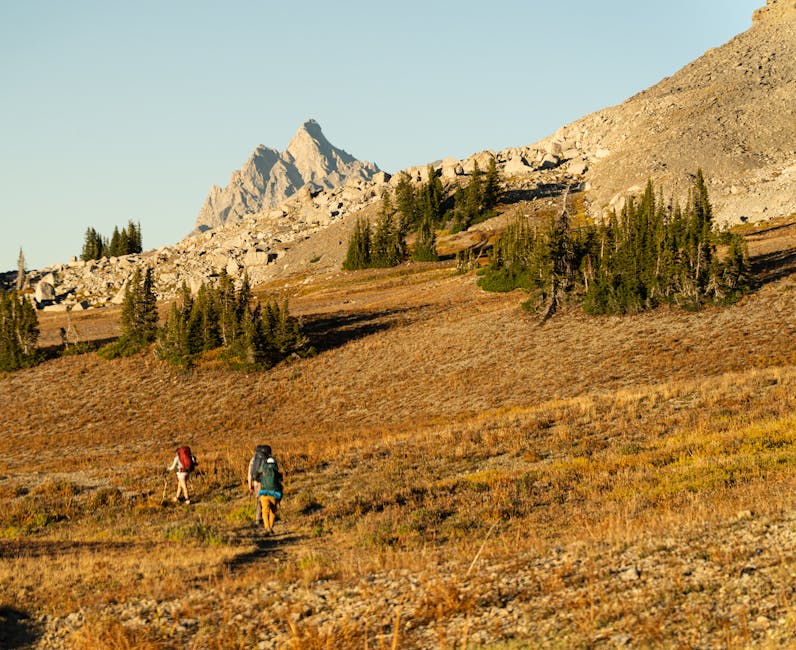
Trail Selection: Where to Go Based on Your Experience Level
Montana’s trails vary from well-graded paths to route-finding nightmares. Picking the wrong trail for your skill level is the most common mistake I see. Here’s a breakdown of three distinct options.
Beginner: The North Fork of the Flathead (Glacier)
The North Fork area has relatively flat terrain, established campsites with bear poles, and minimal elevation gain (under 500 feet per day). The trail follows the river for 15 miles, with campsites every 3-4 miles. You need a permit, but walk-up availability is high. This is the safest introduction to Montana backpacking because the trail is obvious, water is everywhere, and you can bail out to the gravel road at any point.
Intermediate: The Chinese Wall (Bob Marshall Wilderness)
The Chinese Wall is a 22-mile, 1,000-foot limestone escarpment that runs north-south. The standard route is the Sun River Trail, which gains about 1,500 feet over 12 miles. Campsites are at designated spots near water sources. The challenge here is navigation: the trail crosses several unmarked creek fords, and in June, the Sun River runs fast enough to knock you off your feet. Bring trekking poles and a GPS device. The Garmin inReach Mini 2 ($400, 35-hour battery in tracking mode) is the most reliable satellite messenger for this area because cell service is zero for the entire route.
Advanced: The Beaten Path (Absaroka-Beartooth Wilderness)
The Beaten Path runs 26 miles from Cooke City to the East Rosebud Trailhead, crossing the Beartooth Plateau at 10,000 feet. This is not a trail for beginners. The elevation gain is 3,200 feet, and the route is above treeline for 10 miles, meaning zero shelter from weather. Lightning storms are common in July and August. You need a GPS, a paper map, and the ability to navigate in fog. The trail is not marked above treeline. I’ve met hikers who spent an extra night out because they missed the cairns in a whiteout. Don’t attempt this without at least five previous multi-day trips in alpine terrain.
| Trail | Distance (miles) | Elevation Gain (ft) | Difficulty | Permit Required |
|---|---|---|---|---|
| North Fork Flathead | 15 | 500 | Beginner | Glacier backcountry |
| Chinese Wall | 22 | 1,500 | Intermediate | Self-issue |
| Beaten Path | 26 | 3,200 | Advanced | Self-issue |
Gear That Makes or Breaks a Montana Trip
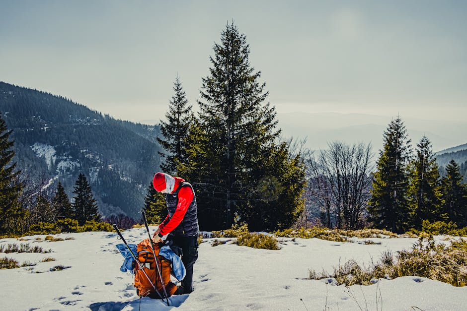
You can backpack in Montana with a standard three-season kit, but three items are non-negotiable due to the specific conditions.
A Sleeping Bag Rated to 20°F or Lower
Montana nights drop below freezing even in August, especially above 7,000 feet. A 30°F bag is not enough. The REI Co-op Magma 15 (1 pound 12 ounces, 850-fill down, $479) is the most common bag I see on the trail because it balances weight and warmth. If you sleep cold, the NEMO Disco 15 (2 pounds 6 ounces, $400) has a spoon shape that allows more room for shifting without creating cold spots. Do not bring a summer-weight quilt unless you are prepared to wear every layer you own to sleep.
Water Filtration: The Sawyer Squeeze Is the Standard
Montana’s water sources look clean but carry giardia and cryptosporidium from beaver and livestock activity. The Sawyer Squeeze (3 ounces, $40) filters 100,000 gallons and attaches to standard water bottles. It is lighter than a pump and faster than tablets. The Katadyn BeFree (2 ounces, $45) is faster but has a shorter lifespan (1,000 liters). For a week-long trip, the Sawyer is the better choice. Carry two 1-liter Smartwater bottles — they thread directly onto the filter.
Navigation: Paper Map + GPS Backup
Cell service in Montana’s backcountry is nonexistent. The National Geographic Trails Illustrated Maps for Glacier ($15) and the Bob Marshall ($15) are waterproof and show trail mileage, campsites, and water sources. Pair them with a GPS device. The Garmin inReach Mini 2 is overkill for day hikes but essential for multi-day trips where you might need to communicate an emergency. The subscription starts at $12 per month for the basic safety plan. Skip the phone-based apps unless you download offline maps — and even then, battery life is the limiting factor.
Three Mistakes That End Trips Early
Every year, rangers in Montana pull hikers off trails for the same three reasons. These are not rare edge cases.
Mistake 1: Underestimating creek crossings. In June and July, snowmelt turns creeks into rivers. The Swiftcurrent Creek crossing at Many Glacier is typically waist-deep in early July. You need water shoes or sandals with a strap (like Chaco Z/1, $100) and trekking poles. Do not attempt a crossing in boots — if you slip, wet boots mean blisters and hypothermia. Test the current by throwing a stick. If it moves faster than you can walk, find another crossing or wait until morning when water levels drop.
Mistake 2: Ignoring fire closures. Montana’s fire season runs July through September. In 2026, the Flathead National Forest closed 200,000 acres due to the Horse Prairie Fire. Hikers who didn’t check the closure map arrived at trailheads with locked gates and no backup plan. Check the InciWeb website and the local ranger district social media feeds 24 hours before departure. If the trail is closed, do not hike it. The fine is $5,000, and you are putting rescue crews at risk.
Mistake 3: Packing too much food. Most hikers overpack by 30-40%. A typical 5-day trip requires 2 pounds of food per person per day. That’s 10 pounds total. Dehydrated meals like Mountain House (5-ounce pouches, $12 each) provide 600-800 calories each. Supplement with tortillas, peanut butter, and trail mix. Do not bring canned goods or fresh fruit. Weight is the single biggest factor in how far you can hike per day. Every extra pound reduces your daily mileage by roughly 0.3 miles.
When Not to Backpack in Montana — and What to Do Instead
Montana is not a year-round backpacking destination. The window for safe, comfortable trips is narrow, and pushing outside that window is dangerous.
May and early June are not backpacking season. Snow still covers trails above 6,000 feet, creek crossings are dangerous, and the bugs are at their peak. The mosquitoes in the Bob Marshall in early June are dense enough to form a cloud around your head. You will need a head net and permethrin-treated clothing. I’ve seen experienced hikers turn around after one night because they couldn’t eat without inhaling bugs. If you must go in May, stick to the Missouri River Breaks or lower elevation trails near the Rocky Mountain Front.
September through October is the best season for backpacking. The bugs are gone, the temperatures are mild (50-70°F during the day, 30-40°F at night), and the crowds are thin. The tradeoff is shorter daylight hours and the risk of early snow. By mid-October, snow is common above 8,000 feet. The Beaten Path is usually closed by October 1. Glacier’s backcountry season ends on October 15. Plan your trip for late August or September and you will have the best conditions.
November through April is winter. Do not backpack in Montana during these months unless you have winter mountaineering experience and avalanche training. The backcountry is under snow, trails are unmarked, and rescue times are measured in days, not hours. If you want to see Montana in winter, go to Whitefish for skiing or rent a cabin in the Bitterroot Valley. Do not attempt an overnight trip.
I started this guide by saying the biggest challenge isn’t distance — it’s planning. A Montana backpacking trip that works is one where you know the permit rules before you book your flight, you carry the right food storage, and you pick a trail that matches your actual experience. The mountains will still be there next year. Don’t rush it.